Wednesday, November 15, 2006
CADCast Episode 010 (UCS & WCS)
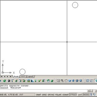
 In this episode, I will address a listener's email regarding the UCS or User Coordinate System, as well as and how it relates to the WCS or World Coordinate System.
Thanks to those who waited forever for this episode! I've been committed to personal and professional tasks that make money. I'll try to keep the podcast going but unfortunately I cannot commit to any schedule at this time.

